
Iceland’s attractions are not evenly spread, and that single fact should shape every itinerary. Most of the famous sights line up along two corridors: the Golden Circle loop and the South Coast stretch of Route 1. Everything else requires deliberate commitment, which is exactly why the East and the Westfjords stay blissfully quiet.
This page is the planning map in words: every major thing to do in Iceland, grouped by region, with the driving math that turns a wish list into a workable route. Pair it with the interactive map embedded above, and save it offline before you fly (rural signal is real, but spotty in fjords).
How to Read Iceland’s Geography
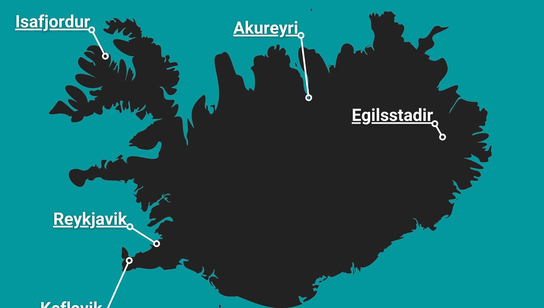
Route 1, the Ring Road, circles the island in 821 miles (1,322 kilometers). Reykjavík and Keflavík airport sit in the southwest corner, which means the southwest quadrant (capital, Golden Circle, South Coast) is where 80 percent of visitors spend 80 percent of their time. Driving times from Reykjavík tell the story:
- Golden Circle loop: 3.5 hours of driving total
- Vík: 2.5 hours
- Jökulsárlón: 5 hours
- Akureyri: 5 hours
- Egilsstaðir (East): 8 hours
- Ísafjörður (Westfjords): 6 hours
The rule of thumb: under 5 days, stay southwest. Five to eight days, add either the full south or Snæfellsnes. Nine or more, the Ring Road becomes realistic.
Region 1: Reykjavík and the Capital Area
Hallgrímskirkja, Harpa, the Sun Voyager, the old harbour and its whale boats, the city’s geothermal pools, Sky Lagoon, and Mount Esja’s hiking trails across the bay. One to two days. Full details in our Reykjavík guide.
Region 2: Reykjanes Peninsula
The airport peninsula is more than a transit zone: the Blue Lagoon, the bridge between continents, Gunnuhver’s boiling springs, the Reykjanes lighthouse coast, and the recent eruption sites of the Fagradalsfjall and Sundhnúkur volcanic systems. Note that access near Grindavík varies with ongoing volcanic activity; check safetravel.is for current status. Half a day to one day, slotted naturally beside arrival or departure flights.
Region 3: The Golden Circle
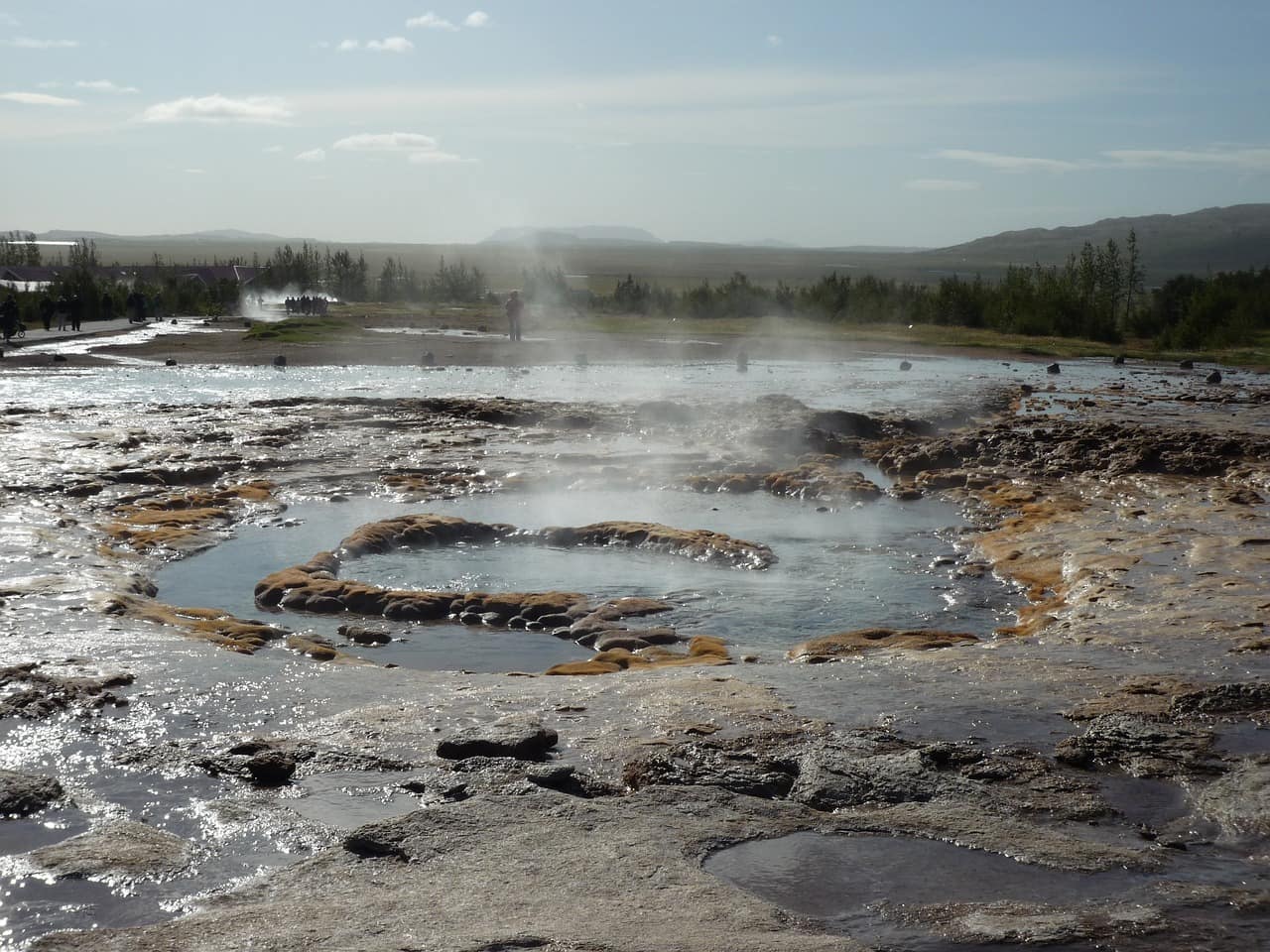
Þingvellir National Park (tectonic rift, parliament site, Silfra snorkeling), Geysir and Strokkur, and Gullfoss. The classic add ons: Kerið crater lake, the Secret Lagoon at Flúðir, Friðheimar tomato greenhouse lunches, and Brúarfoss, the bluest waterfall in the country. One full day.
Region 4: The South Coast (Hella to Höfn)
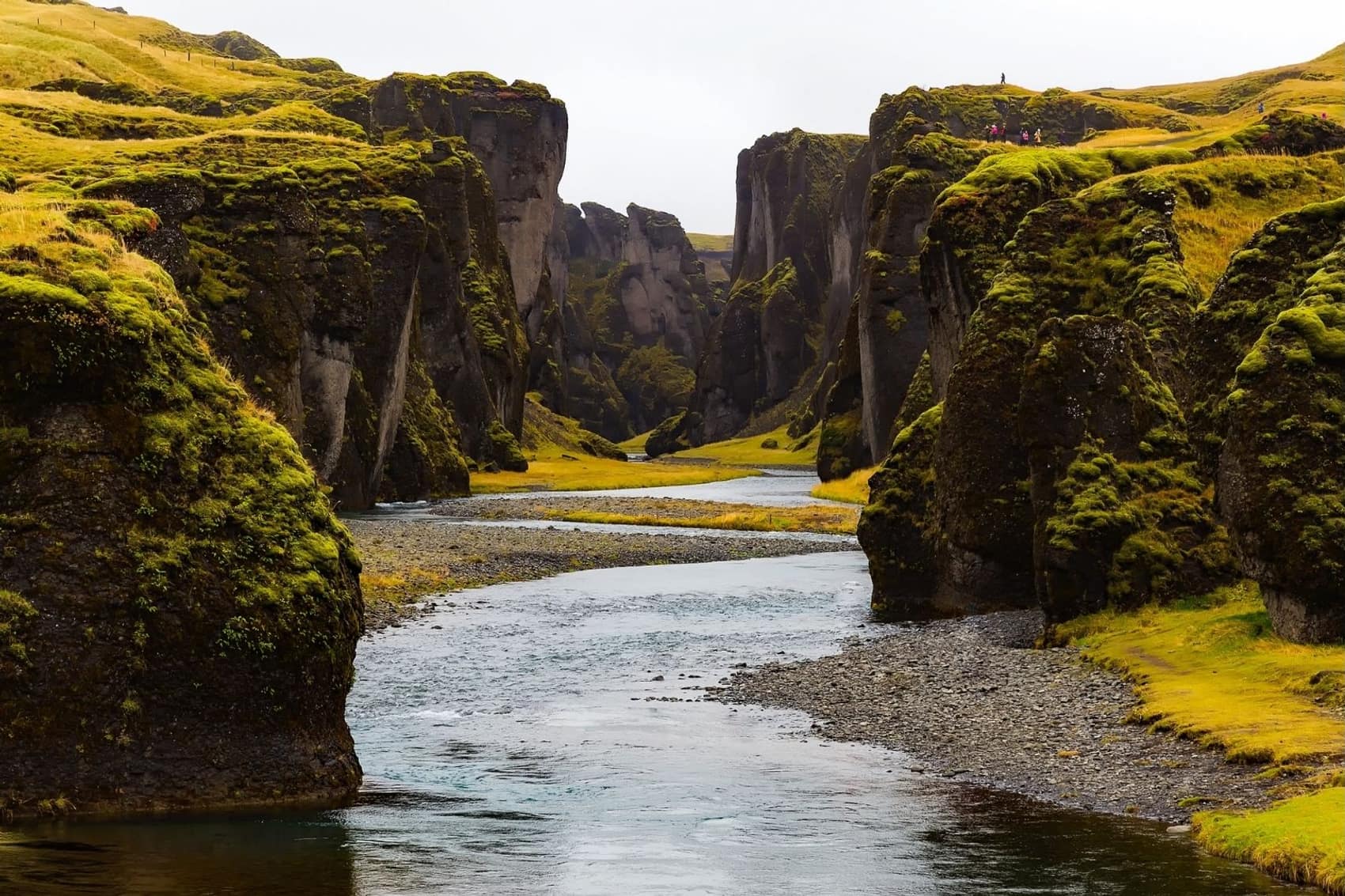
The densest corridor of sights in Iceland, west to east: Seljalandsfoss and Gljúfrabúi, Skógafoss, Sólheimajökull glacier, Dyrhólaey, Reynisfjara and Vík, Fjaðrárgljúfur canyon, Skaftafell’s trails and Svartifoss, the Jökulsárlón glacier lagoon, Diamond Beach, and Stokksnes’ Vestrahorn mountain near Höfn. Two to three days minimum; this is the stretch where day trippers burn out and overnighters win.
Region 5: Snæfellsnes Peninsula
Iceland in miniature, two hours north of the capital: Kirkjufell and its waterfall, the Snæfellsjökull glacier volcano, Djúpalónssandur black pebble beach, the Arnarstapi to Hellnar cliff walk, Búðakirkja’s black church, and the Vatnshellir lava cave. One long day or a relaxed overnight.
Region 6: The Westfjords
The remote northwest: Dynjandi waterfall, the Látrabjarg bird cliffs, Rauðisandur’s improbable red sand beach, Ísafjörður town, and the Hornstrandir nature reserve, accessible only by boat and foot. Two to three days, summer strongly preferred. The reward for the drive is having Iceland’s grandest scenery nearly to yourself.
Region 7: North Iceland
Akureyri (the northern capital), Goðafoss, the entire Mývatn volcanic area, Húsavík whale watching, Dettifoss (Europe’s most powerful waterfall), Ásbyrgi’s horseshoe canyon, and the Troll Peninsula’s Siglufjörður. Two to three days. The north concentrates almost as much spectacle as the south at a fraction of the visitor density.
Region 8: The East
Seyðisfjörður’s rainbow street and artist community, the Borgarfjörður eystri puffin colony, Vestrahorn’s neighbor Eystrahorn, Hengifoss waterfall, the Hallormsstaður forest, and reindeer (the East is the only region where they roam). One to two days, usually as the quiet, restorative leg of a Ring Road circuit.
Region 9: The Highlands (Summer Only)
Landmannalaugar, Þórsmörk, Askja, Kerlingarfjöll, and the Laugavegur trail between them. F roads open roughly late June to early September and legally require 4WD. Allow a full day per destination.
Building Your Route From the Map
- Count your real days (landing and departure days are half days at best).
- Pick one anchor experience (ice cave, Laugavegur, full Ring Road) and let the route serve it.
- Sleep along your route, not in one base, once your trip passes four days. Backtracking to Reykjavík nightly is the most common itinerary mistake in Iceland.
- Check road.is and safetravel.is daily. The map is fixed; conditions are not.
Frequently Asked Questions
What is the best map app for Iceland?
Standard map apps work well for navigation. Pair them with road.is for live road conditions and vedur.is for weather, and download offline maps before leaving Reykjavík.
Can you see Iceland’s main sights in 3 days?
The Golden Circle, South Coast to Vík, and Reykjavík: yes. Beyond that requires more days, not faster driving.
How many days do you need for the whole map?
Ten to fourteen days covers the Ring Road plus Snæfellsnes properly. The Westfjords deserve a trip of their own.